Wandering Through the Mickelson Trail – From Dumont Trailhead
Hiking the many sections of the George S. Mickelson Trail is a fantastic way to see the beauty of the Black Hills and also to learn about the early days of this historic area. Each of the 14 different trailheads offers a unique starting point to explore parts of this 109-mile route from Edgemont to Deadwood.
The Dumont Trailhead is the fifth official trailhead along the Mickelson Trail beginning from Deadwood and is slightly over 16 miles from the start. Just like the other trailheads, here you will find a full-size map of the entire trail, a self-service station to purchase your Mickelson Trail pass, and a public toilet. The Dumont Trailhead also has a small self-service station for bicyclists with an assortment of repair tools and a tire pump. And there is a small, one-room shelter that would offer a welcome break from the elements on a long bike ride or hike.
The parking lot here is huge. Apparently, this is a popular starting point for snowmobile riders during the winter. The only time motorized vehicles are allowed on the Mickelson Trail is during a few months in the middle of winter when snowmobiles are permitted. Having spent enough time on this trail now, I can only imagine how fun it would be to ride a snowmobile across it when it’s covered in snow.
Also like the other Mickelson Trailheads, the Dumont Trailhead is easy to reach. From Lead, drive south on Highway 14A until you see the sign for the Englewood Trailhead. Turn onto North Rochford Road and continue straight for 6 miles (passing the turn for Englewood) until you see the Dumont Trailhead on the right side of the road.
Once you arrive, you will find that the trailhead is on the opposite side of Rochford Road from the trail. Follow the path that connects to the trail and then you can start your hiking adventure in either direction. Since I have already hiked south to this point from Englewood, I turned right and headed south for my hike.
Almost right away I noticed that this section of the trail would be different from the previous 16 miles. Here the path leads into a valley with open meadows, small ponds, and winding creeks. Rather than being surrounded by tall forests and steep mountainsides, I found myself exposed to the blue sky and sweeping views all around me. Weather is always unpredictable in the Black Hills, even more so in late fall, so I was grateful for the clear skies and lack of strong winds on this day.
It was on this part of the Mickelson Trail that I crossed some interesting bridges for the first time. There are two within the first two miles south of Dumont and, even though they are short bridges, they are a fun addition to the scenes along the trail. Seeing them was a good reminder of the history of this trail and that this used to be the main rail line that brought people and goods north to Deadwood through the Black Hills.
However, these weren’t the only reminders of the past that I discovered during this hike. It turned out to be a pleasant surprise just how many historic sites there are on this section of the trail. There is the Bulldog Ranch, which dates back to when it was a stop on the early stagecoach line. Further on there is a bright red building covered in lids from cyanide cans, which apparently was a popular trend in the Black Hills during the days of gold mining. Not far from the trail is where George Custer and his men camped in 1874 while exploring the Black Hills for the first time. And in what is now an empty meadow used to be a thriving little town with electricity, telephones, a schoolhouse, and hotel before the town was abandoned and eventually disappeared. You can learn more about these historic sites by reading the many information signs that are conveniently posted beside the trail.
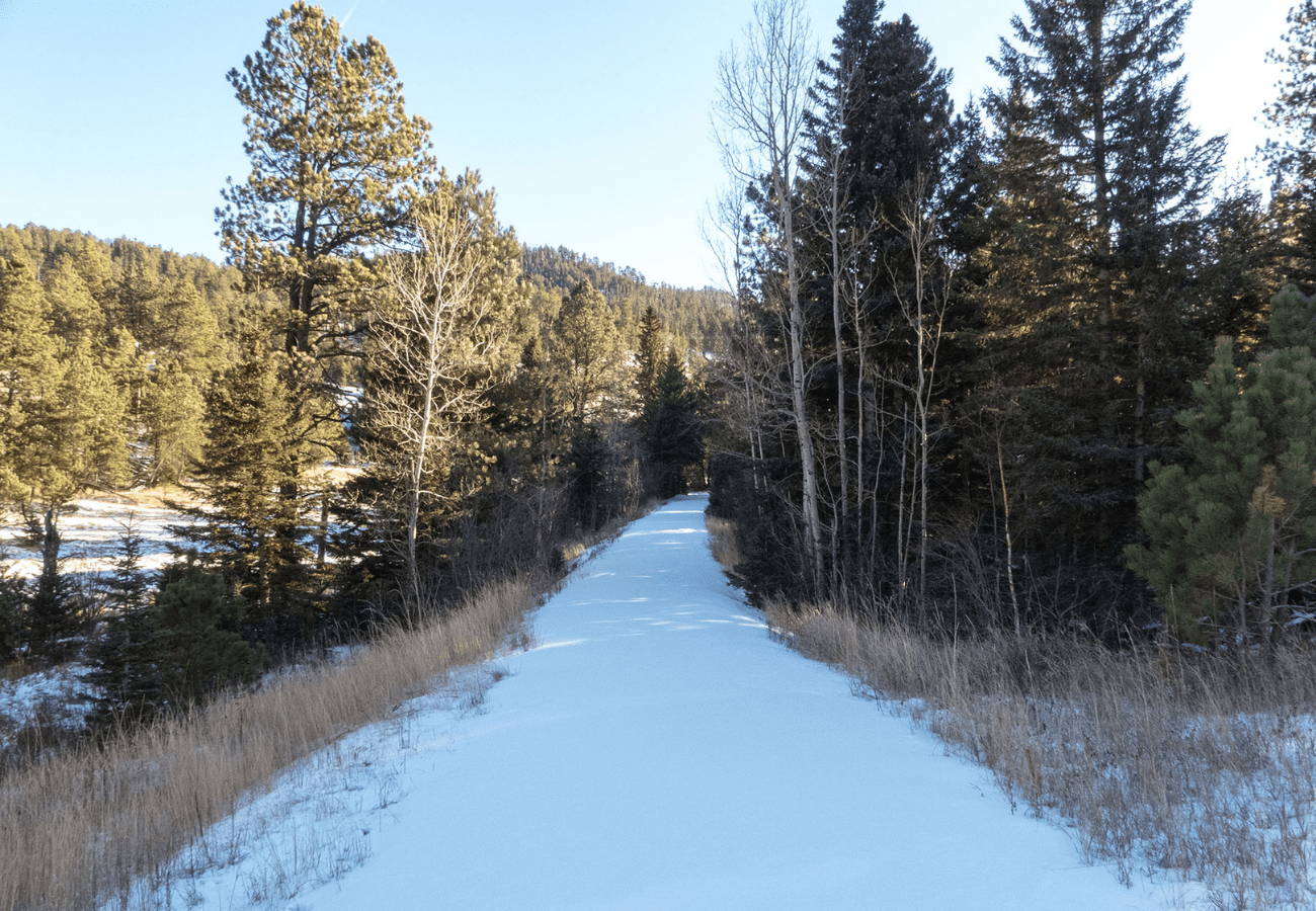
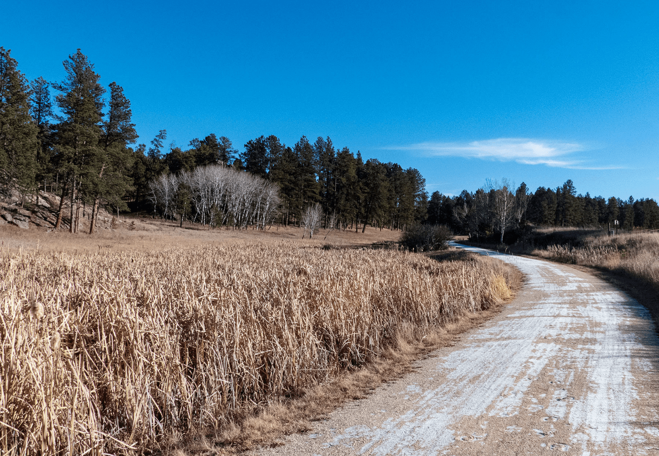
The full distance from Dumont south to the next trailhead is 10 miles. I did not want to do a 20-mile round-trip hike, though, so I only went about halfway. I ended up turning around just past the 88-mile marker (measured from the southern starting point in Edgemont) which also just happened to be where the 20 Mile Ranch sits. I would have liked to see what sights were on the other half of this section of the trail, but I will have to walk that path another time. As it was, this hike was about 9.5 miles round trip and took me just under 4 hours to complete.
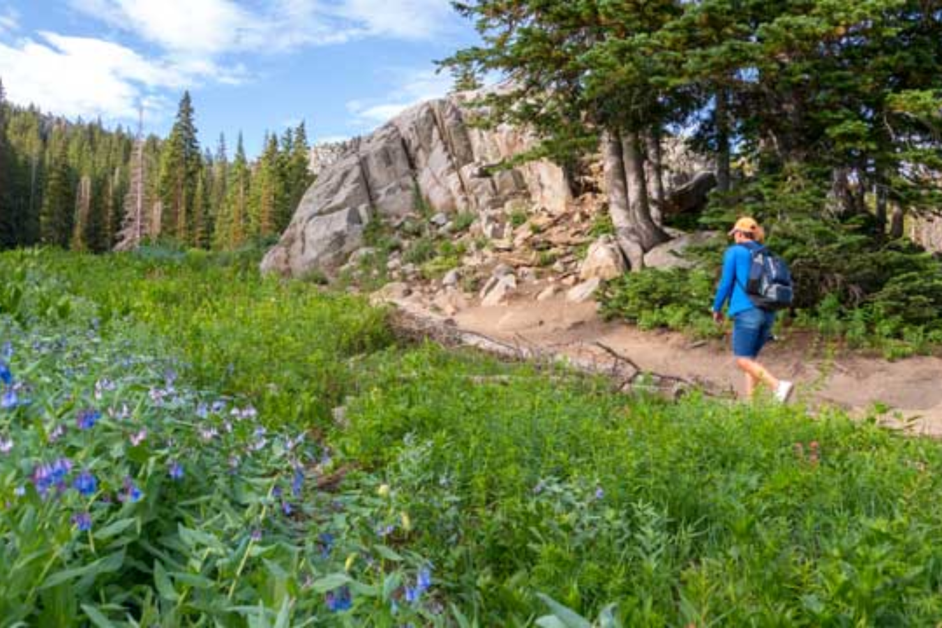
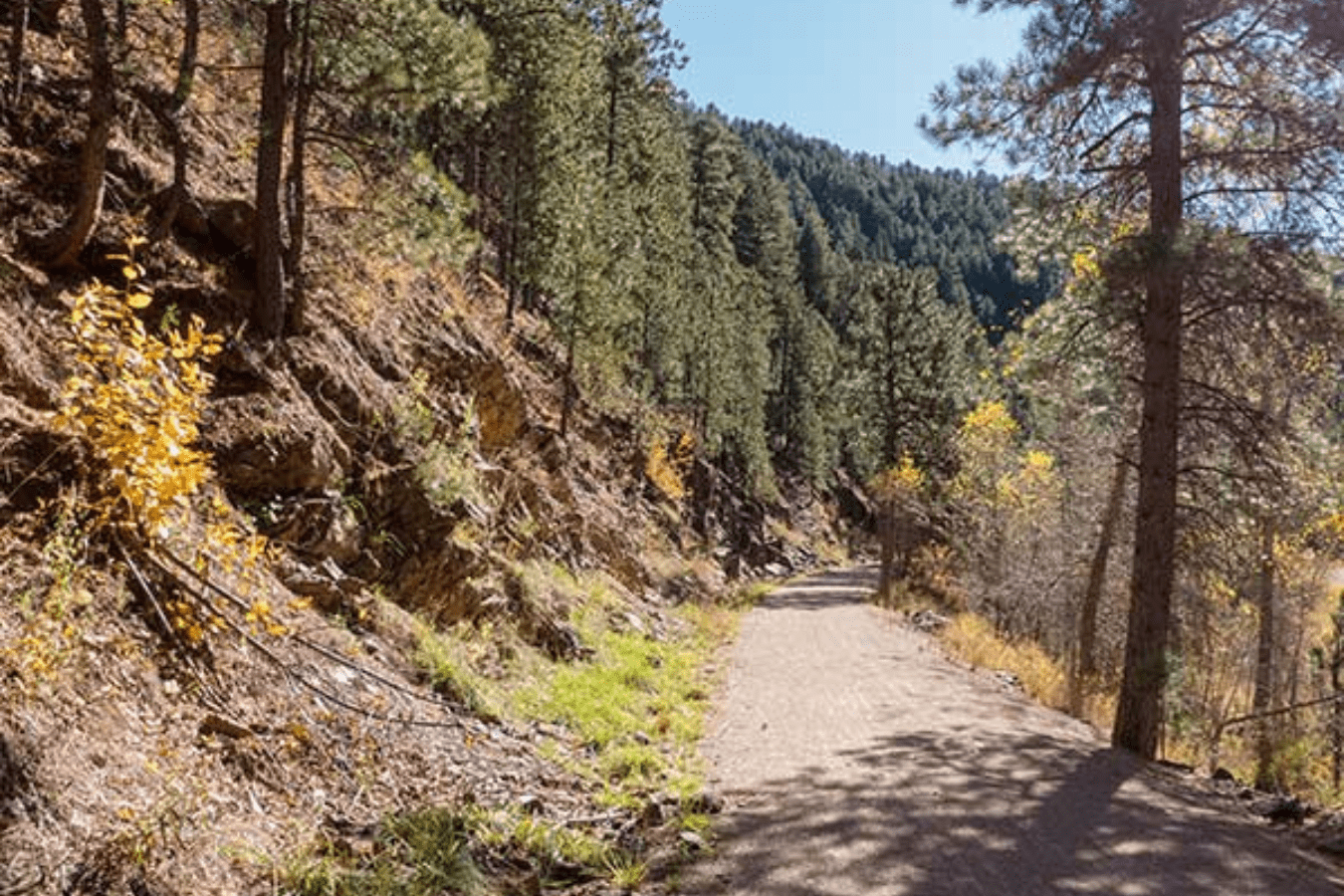
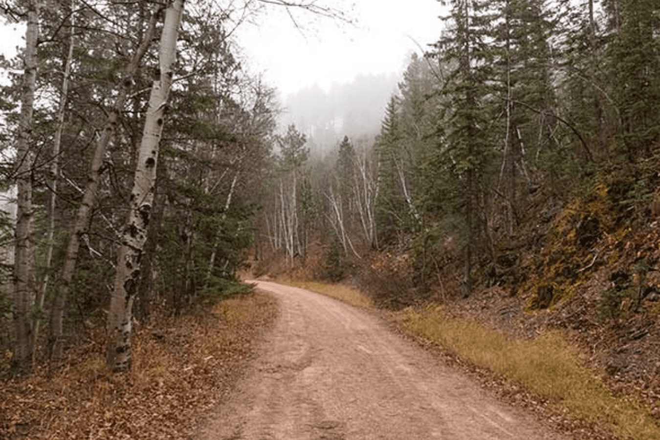
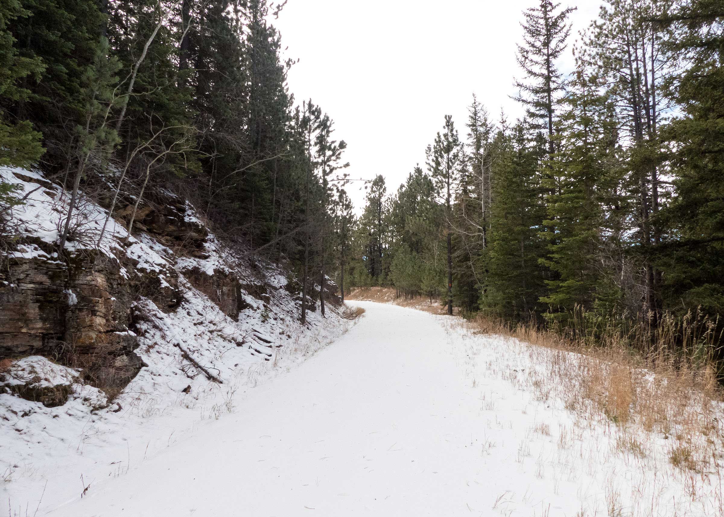
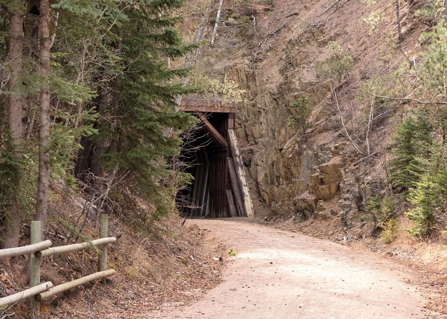
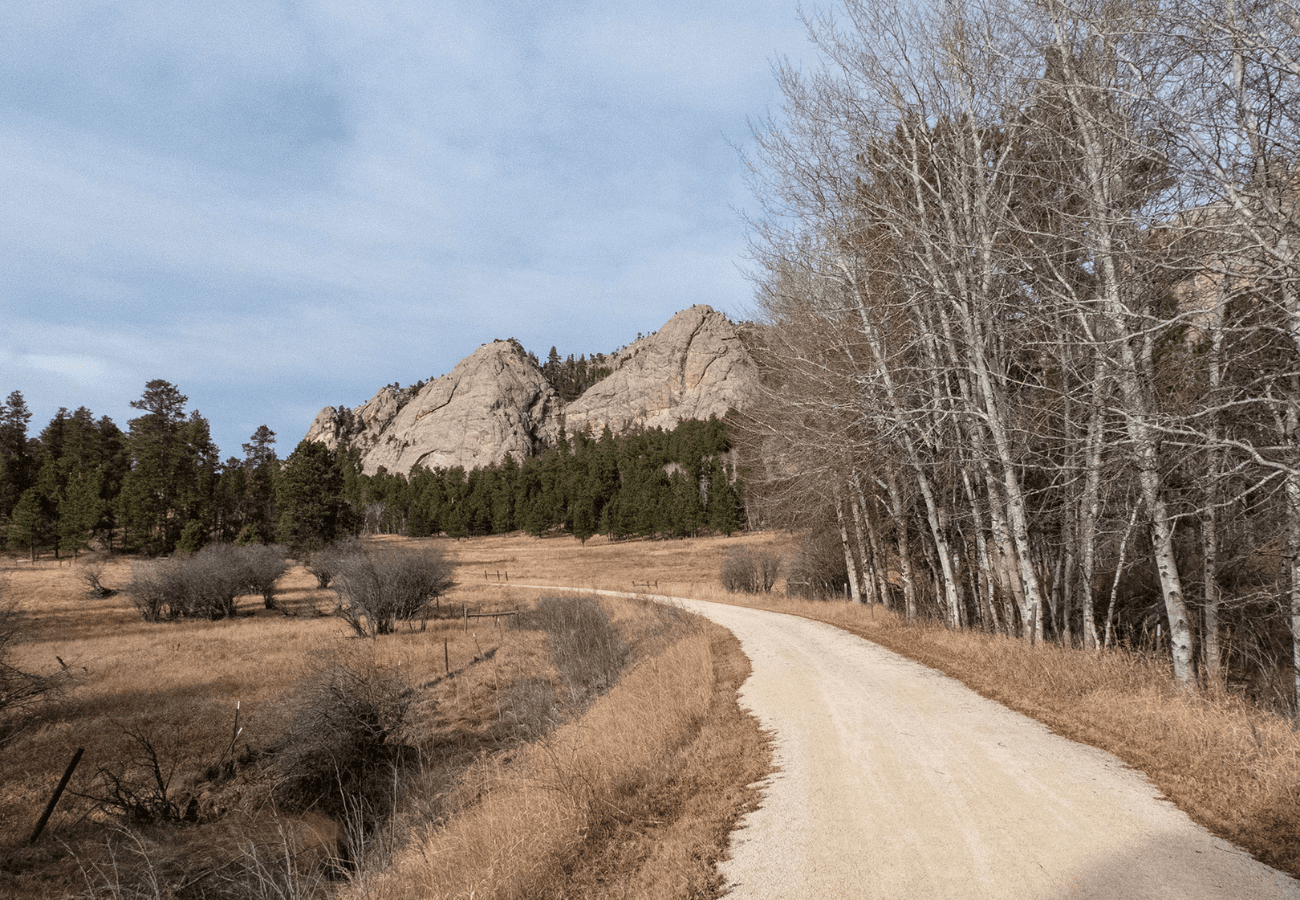
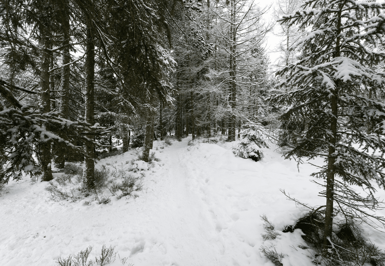
Every time I finish walking a new section of the George S. Mickelson Trail, I come away with a completely unique experience. Whether it’s a winding trail through the forested mountains or a clear path through an open valley, this trail really is one of the best ways to experience the beauty, and the history, of the Black Hills.