Skip to content

Pushing Through the Centennial Trail – South Box Elder to Pilot Knob

South Boxelder Trailhead is the sixth trailhead going south along Centennial Trail #89 and my next starting point as I hike each section of this 111-mile trail through the Black Hills. The trailhead itself is little more than a parking area less than a mile from the town of Nemo on Boxelder Forks Road. This part of Centennial Trail is very popular for riding ATVs, so there is plenty of parking for vehicles pulling trailers.

When I first reached the trailhead, I honestly wasn’t sure if I was in the right place. I didn’t see any signs that this was South Boxelder, but I did see a marker for Trail #89 going north, so I assumed this must be it. There was a trail map of the area posted and, after a quick look, I did confirm that I was where I wanted to be. Other than the map, though, there wasn’t a restroom or even any benches or picnic tables that I saw. This is definitely a remote trailhead.

From South Boxelder, my plan for the day was to hike south all the way to the Pilot Knob Trailhead, which is about 7.6 miles according to the Centennial Trail map. As I set out, I was looking forward to finally being able to complete a full trailhead-to-trailhead hike after not being able to on the last three hikes.

Starting out, the trail led away from the parking area to a wooden bridge that crosses Boxelder Creek. The views of the creek from the bridge were beautiful in both directions, and it looked like there were several spots off the trail that would be perfect for a picnic down by the water. On the other side of the creek, Centennial Trail began a long, gradual uphill climb as I headed west.

Since the trail here is mostly used by off-road vehicles, the path early on was similar to walking on a worn gravel road. Within the first mile or so, I saw several other ATV routes branching off from Trail #89. In fact, there are numerous interconnecting trails all throughout this entire section of trail. Most of the intersections were marked with numbered trail names, but Centennial Trail wasn’t always clearly marked. There were actually a few times that I questioned whether or not I was still on the right path. But I always ended up seeing the familiar bison skull marker and I would be reassured I was still on track. 

The first few miles of this hike were rather uneventful. As the wide trail led through the forest, I thought it was a peaceful walk, but there weren’t a lot of great views. At about three miles into the hike, the trail started a steeper uphill climb and the road became much rockier. By around the fourth mile, the trail narrowed a little and the surrounding hills started to become more rugged. At this point I also started to see some nice views of nearby mountain peaks through the trees. Five miles in, the trail started another long uphill climb that lasted more than half a mile before beginning an even longer downhill slope until the trail finally opened up beside a small open field. From this point it was only another half mile or so until I reached the end at Pilot Knob.

I was glad to find that this trailhead did have a restroom and picnic table. As I took a quick break, I checked my GPS and was surprised to see I had covered less than seven miles to get here. Since the actual distance on my previous hike was also off from the distance shown on the map, I’m going to be curious so see how the map checks out as I hike the rest of Centennial Trail. After a short break, I turned and started the trek back.

As I made the walk back to South Boxelder, it really struck me how much uphill walking there was on this hike. And in both directions. While I noticed a few uphill climbs on the way out, it seemed like I was always walking uphill going back. Of course, these are the Black Hills and all the previous sections of Centennial Trail have had some steep parts, too. But this trail seemed different. By the time I got back to my car, I was more tired than I had been in any of the previous hikes.  

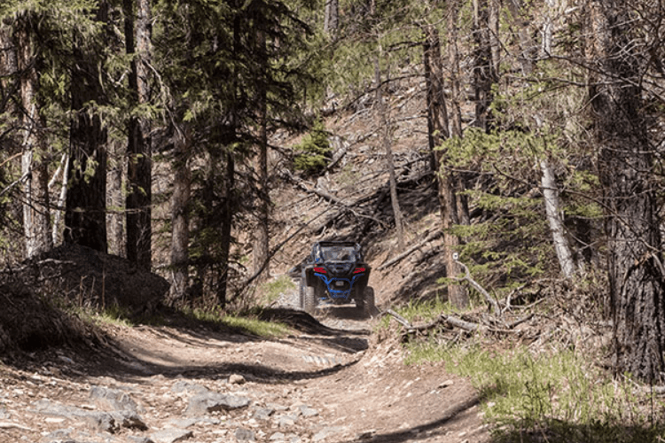
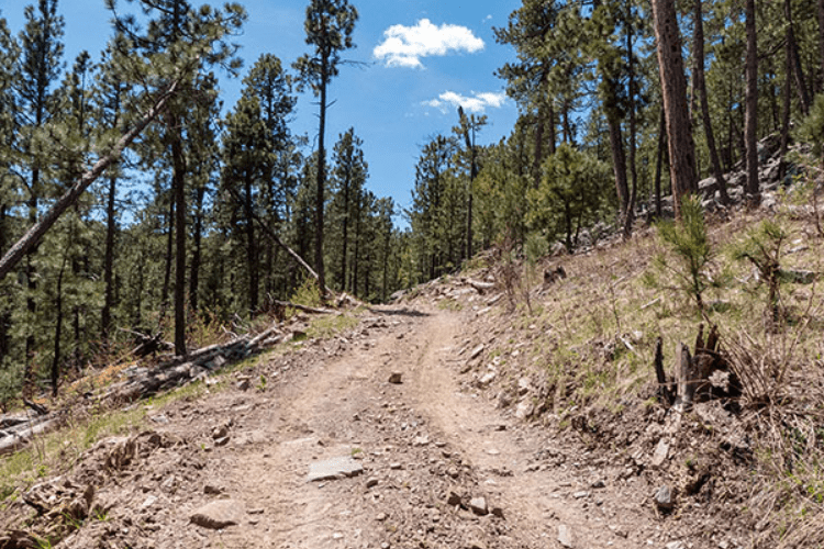
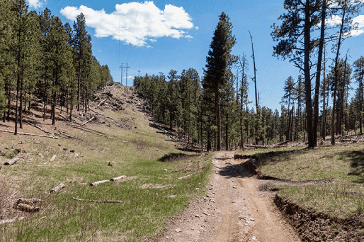
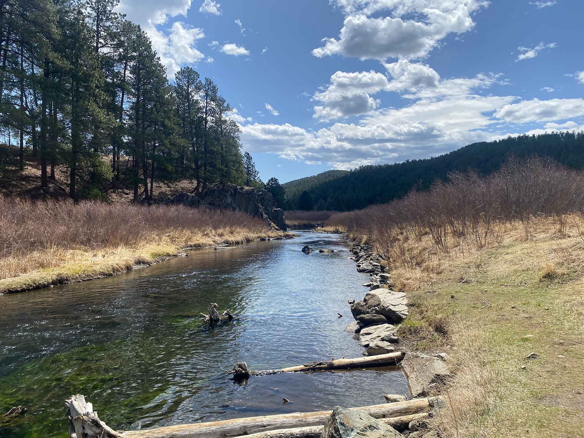
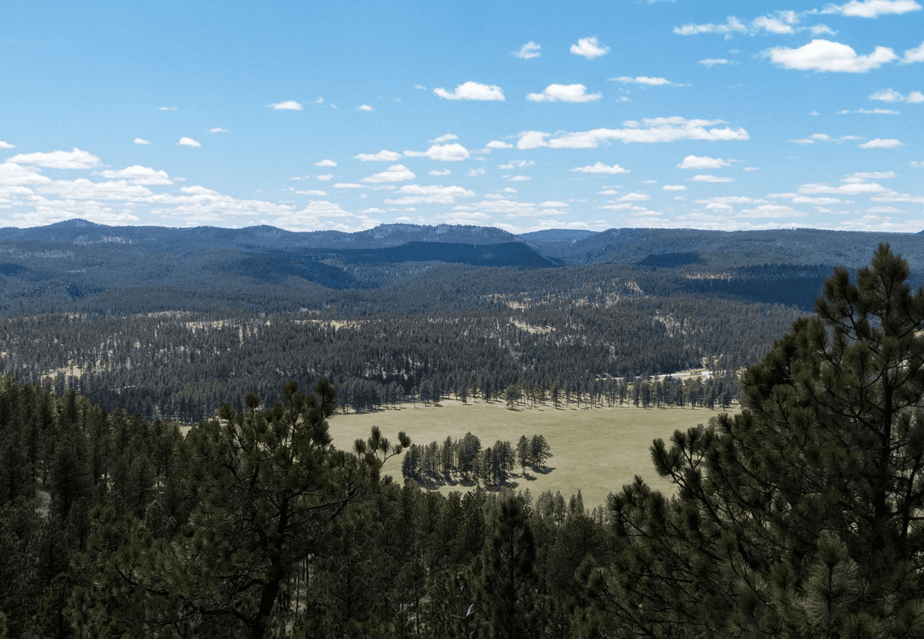
At the end of this hike, I was also glad that this would be the last section open to off-road vehicles. I didn’t mind sharing the road as I did encounter several ATVs and motorbikes throughout the day. Everyone was always polite and cautious passing me. But deep ruts, large puddles, mud, and rocky paths helped make this section a little more difficult to walk than it needed to be.

I’m looking forward to the next section of Centennial Trail and hopefully getting back to feeling like I am walking on a nature trail in the woods.

 
Secret Link