Hiking the Sturgis Trail #8 – Sturgis Trail System
Sturgis Trail #8, also known as Skyline, is a 4.6-mile out and back trail (2.3 miles each way) that offers a scenic hike, wonderful views, beautiful wildflowers, and a spectacular overlook that looks out across the mountains to the west and the canyon below. Located in Vanocker Canyon, one of the most scenic routes to drive through the Black Hills, this is one place I have been wanting to explore for a while now. Thanks to the Sturgis Trail System, there are more than 23 miles of trails to hike through this area that are just minutes from Sturgis and I-90. For my first time exploring this trail system I chose Trail #8 because I had heard about the wildflowers and the overlook at the end and wanted to see them for myself. I was not disappointed!
The trailhead for this hike is relatively easy to find, although there are no posted signs for it. From I-90 exit 32 at Sturgis, take Vanocker Canyon Road west for about 3.6 miles. You will come to a sign for trail access that points to the left and just past that sign will be the turnoff for Sturgis Trail #8 on the right. This short gravel road will take you up the hill to a small parking area on the side of the road. On the day I went I was the only one there, but be aware that parking could fill up in the summer months.
The trail itself starts behind a road barrier at the top of the hill that blocks the trail from motorized vehicles. This trail is only for hiking, mountain biking, and horseback riding. It then follows along what looks like an old logging road that leads into the hills. The road is relatively easy to walk here and very easy to follow. There are some uphill sections, but nothing too challenging. I thought it was a fun experience following this winding road as it twists and turns through the trees and meadows.
Then, at about 1.6 miles, a narrow path splits off to the left from the wider trail and takes you deeper into the woods. Here the walk starts to feel more like a nature hike. The trail also gets a little rockier, though it is still not too difficult. While I did see a few areas of wildflowers earlier on the trail, this section is where I saw much more of them. I had to stop several times along this section to take photos and just enjoy the colors.
A little further on you will come to another path that branches off to the right. This is another part of the Sturgis Trail System. However, for this hike I continued to stay on the trail to the left. Finally, the trail reaches the top of the mountain, curves to the left, and brings you to a rocky outcropping on the edge of the mountain. This overlook offers a spectacular view of the canyon below and the Black Hills beyond. Unfortunately, on this day smokey conditions obscured some of the distant views, but I can only imagine how great this would be on a clear day. Not every hike has an end point as stunning as this, so I made a point of taking in the view for several minutes before making the 2.3-mile hike back to the trailhead.
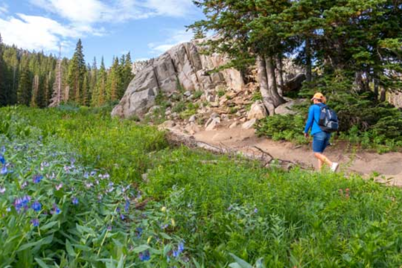
Overall, I would say this was a perfect first hike to explore Vanocker Canyon. At around 4.6 miles round trip, it took me about an hour and a half to complete with plenty of stops along the way. I did this hike in the late afternoon, but I would recommend doing this as a morning hike if you get the chance. I think the views to the west would be better with an early morning sun. But really any time of day this is a great hike anyone would enjoy.