Hiking the Mickelson Trail – Harbach Park Trailhead
Hiking the George S. Mickelson Trail is not only a fantastic way to experience the beautiful scenery of the Black Hills, but also to explore many of the towns and communities across the area. With trailheads in places like Deadwood, Lead, and Hill City, you can go out on a fun hike and then enjoy a meal, some shopping, or many other local attractions all in one day. In Custer, the Harbach Park Trailhead on the Mickelson Trail is located just one block south of Mt. Rushmore Road, so you could spend a few hours out on the trail and then spend the rest of your day taking in everything downtown Custer has to offer.
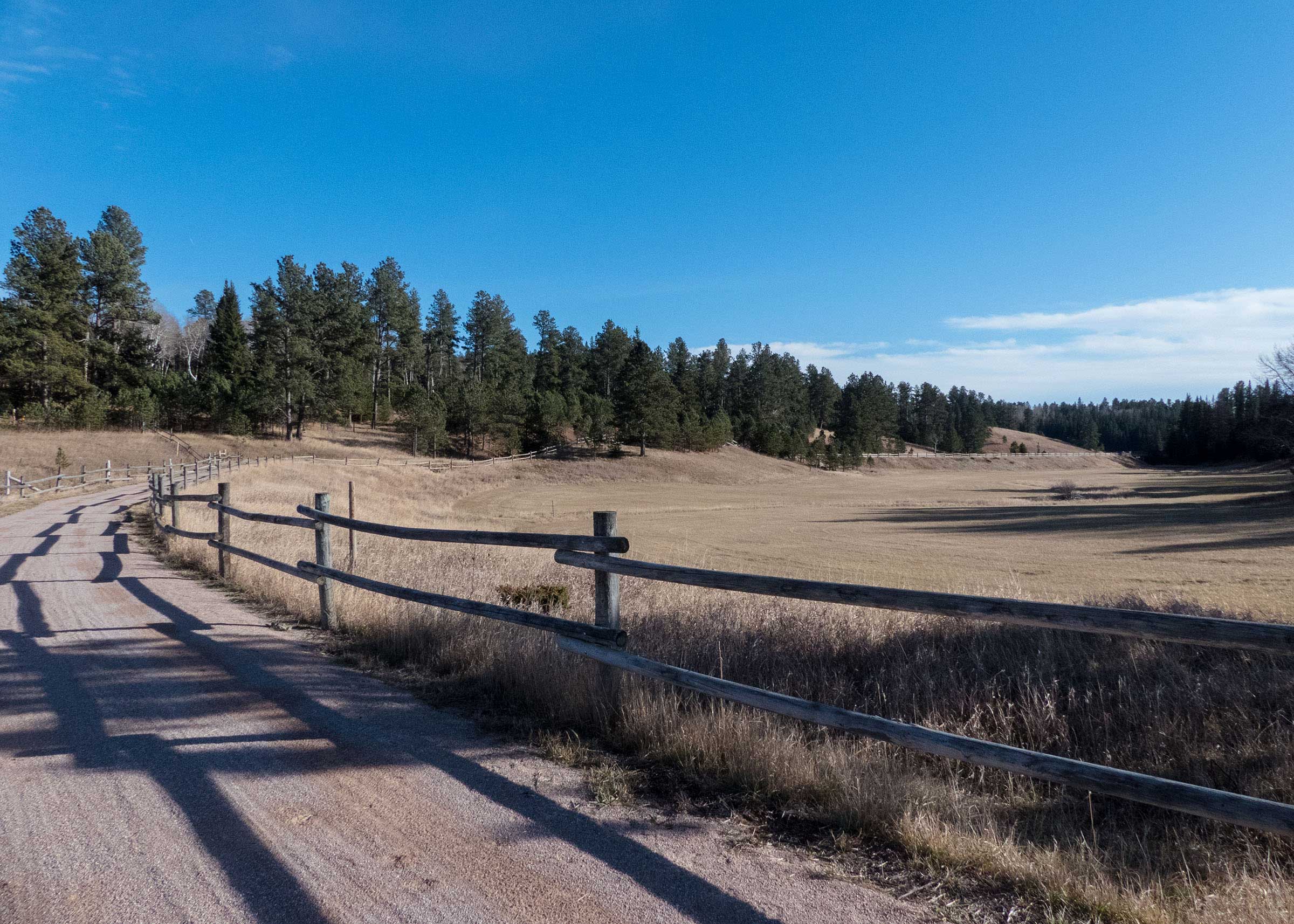
Harbach Park itself is a lovely place to begin and end your hike on the Mickelson Trail any time of year. There is a nice gazebo with picnic tables for relaxing in the shade, a playground for the kids, and a train car on display. Near the park sign is the Mickelson Trail map and self-service fee station to purchase your daily ($4) or annual ($15) pass. While you won’t find a public restroom at the park, Custer does have a few public restrooms near the downtown area that are accessible from the trail. Just look for the signs posted along the path.
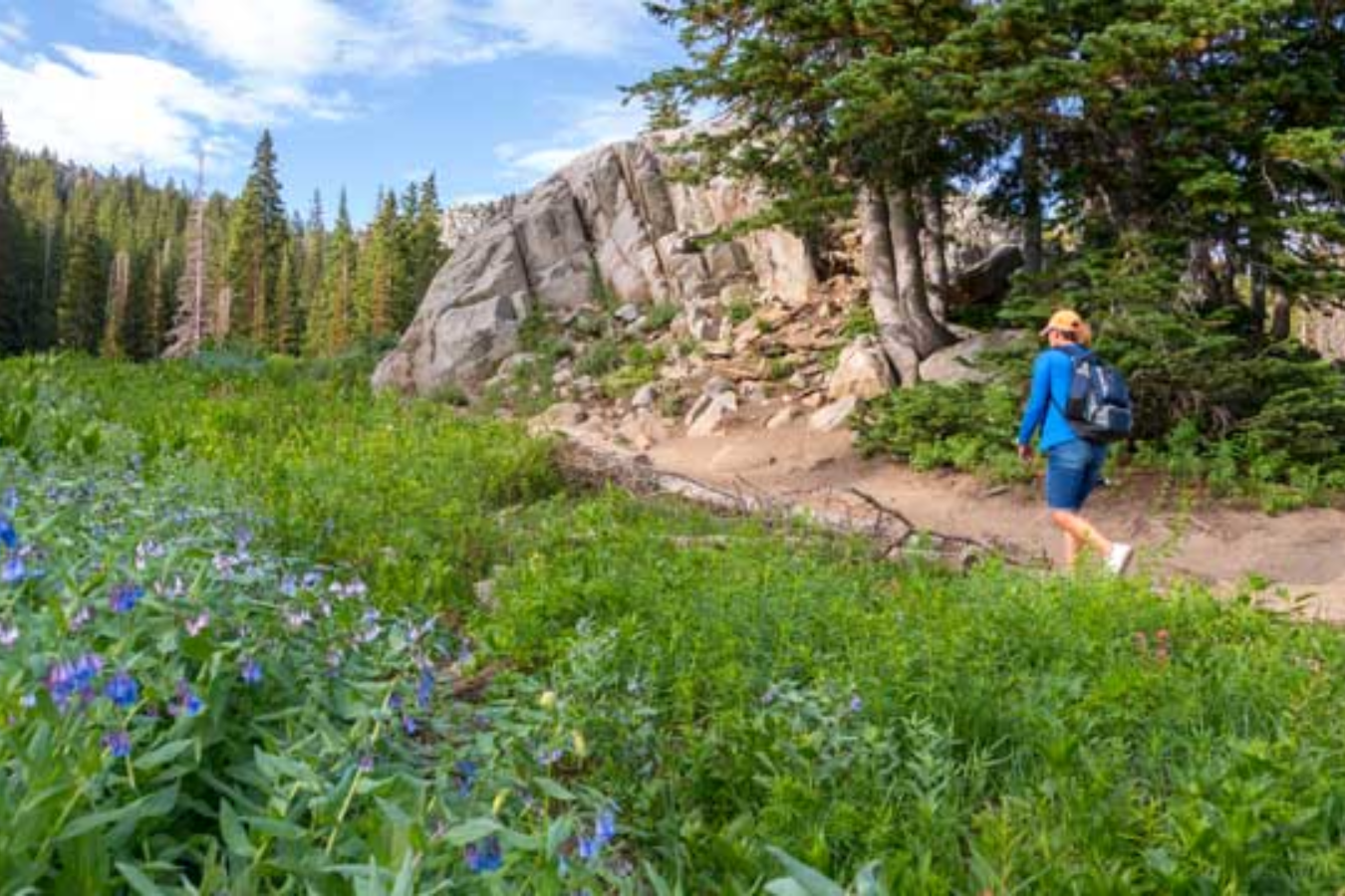
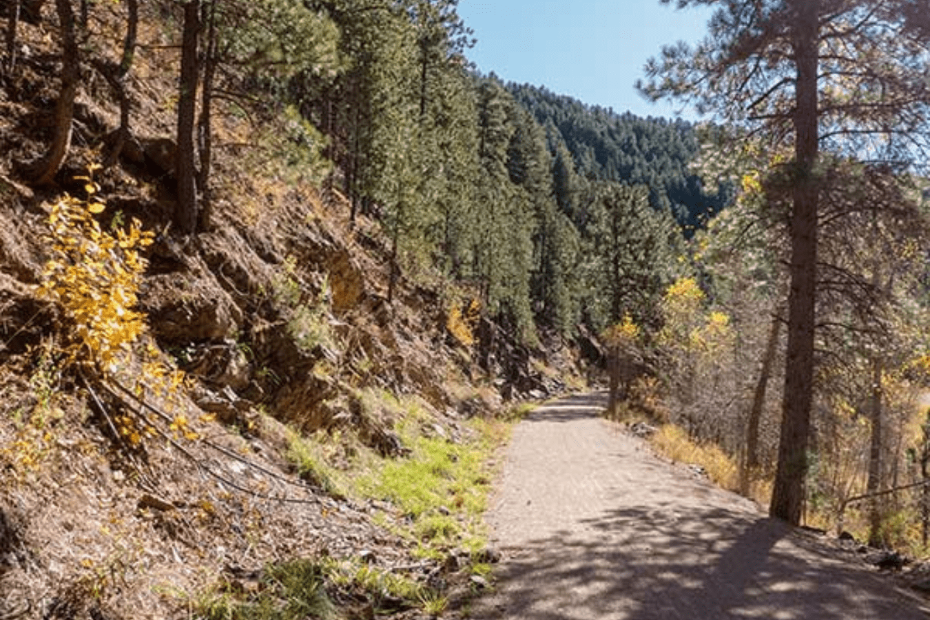
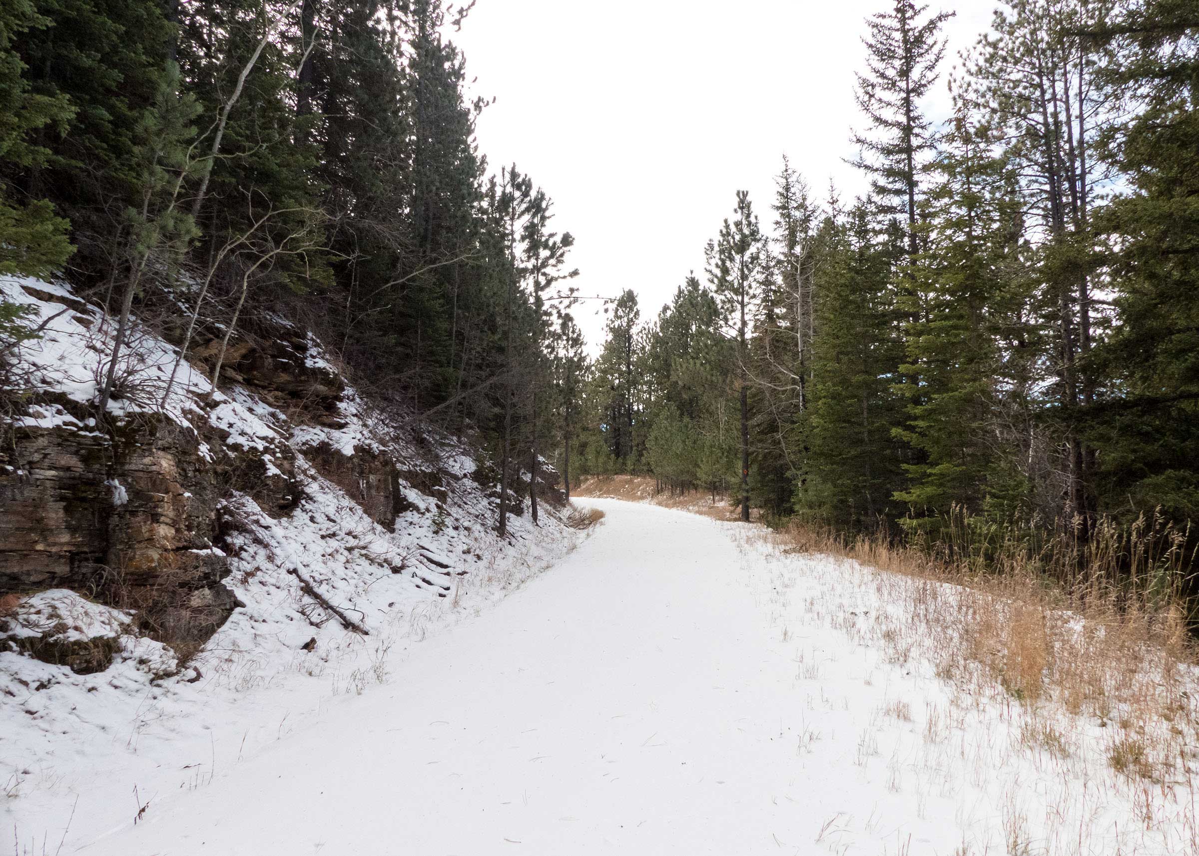
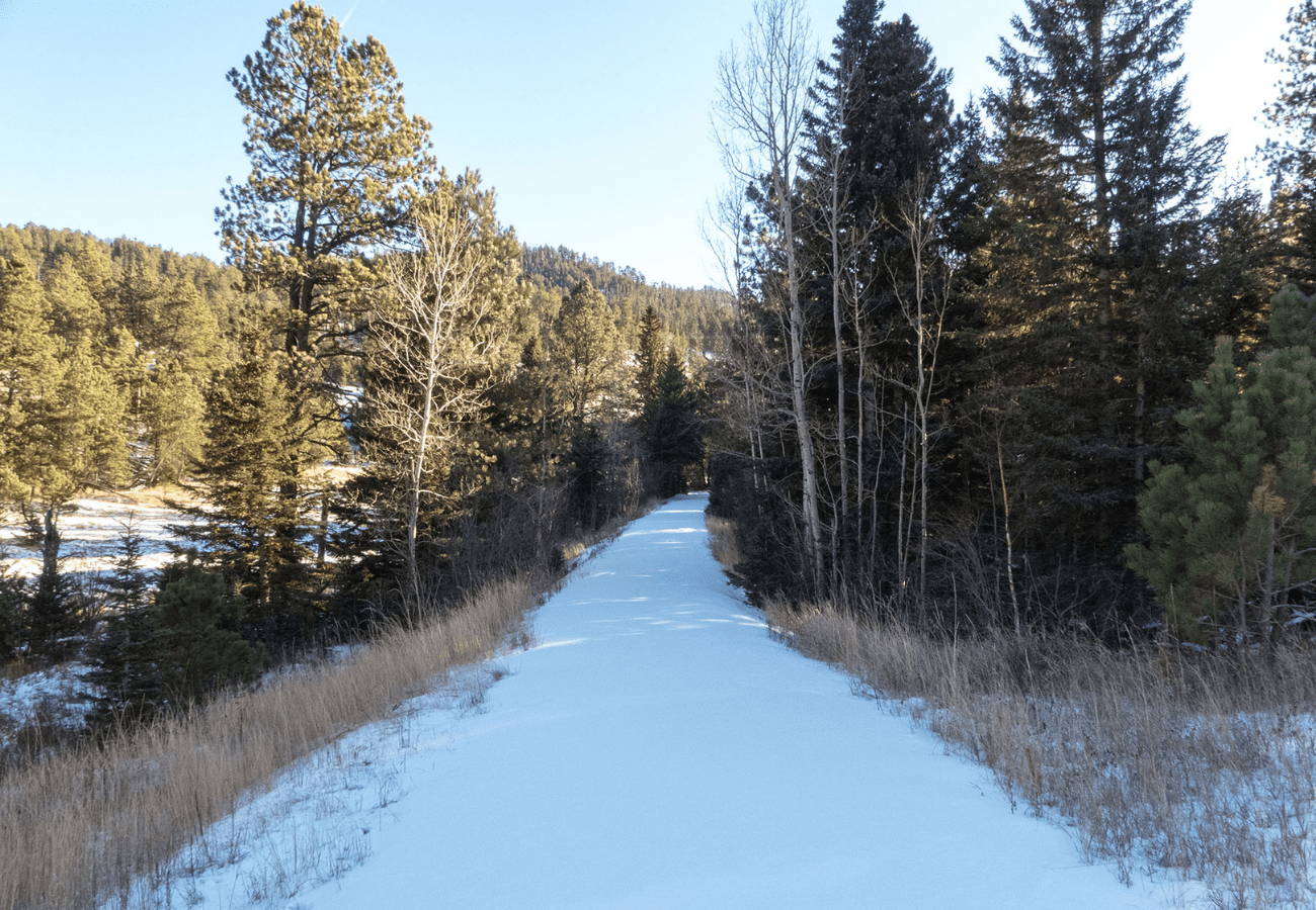
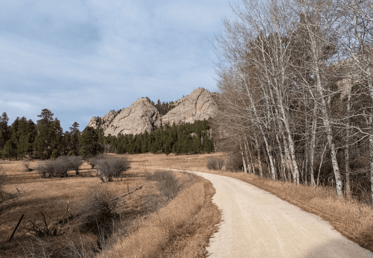
From Harbach Park I headed south, continuing my trek across the Mickelson Trail starting out at each of the 14 official trailheads. Since it is almost nine miles to the next trailhead, I knew I would only be able to go about halfway this time. The trail starts out as a paved bike path that leads west through Custer. It took about a mile of walking to get past the outskirts of town, but I thought it started to feel like a real hike once I crossed the first bridge where the trail changes to gravel. As the trail turns south, the path leads through areas of open meadows surrounded by huge rock outcroppings, which create plenty of beautiful scenery.
There were several unique and interesting sights on this segment of the Mickelson Trail, but my favorite was a little over two miles into the hike. One short section on the trail offers a clear and unobstructed view of the Crazy Horse Memorial far off in the distance. From this angle, a huge granite mountain and some pine trees help to complete this wonderful scene. As I was walking south, I just happened to turn and look behind me at just the right spot to see this. Of course, had I not seen this walking south, I certainly would have on the return hike to Custer.
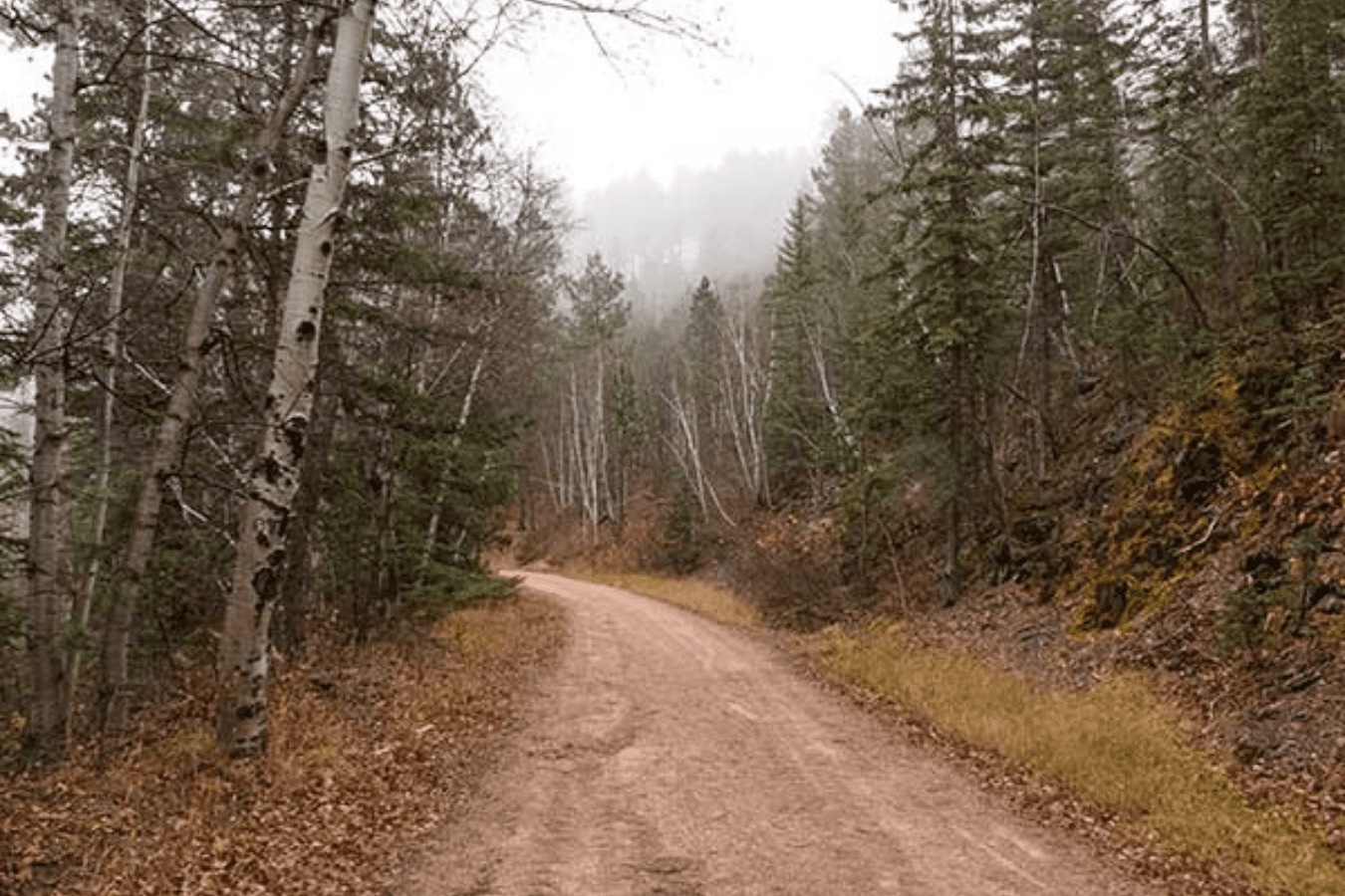
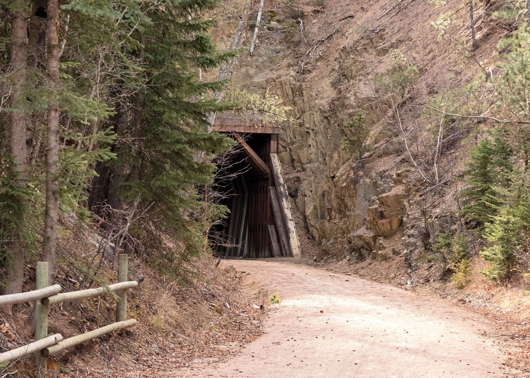
Throughout the hike there were a number of smaller bridges, winding streams, and even a few small ponds that added to the scenery along the trail. One of the more unusual sights on this part of the Mickelson Trail is a tall bridge that crosses over the trail. Usually this trail crosses over other roads or goes through tunnels, but I think this was only the second bridge going over the trail that I have seen, and the first one was much smaller. There is also one tunnel on this section where the trail passes underneath Highway 385 near mile marker 41.
I tried to go as far as I could, time permitting, because I was hoping to make it to the Sanator Trail Stop which I saw on the map at the trailhead. I expected this to be like the Oreville Trail Stop in between Hill City and The Mountain Trailheads and was curious to learn if there was any significance to this location. However, by the time I reached mile marker 39, it was time to turn around and I had still not seen it yet. I was a little disappointed, so I guess I will have to wait to see it on another day.
I did have a pleasant surprise before turning back on the trail, though. Between the Mickelson Trail and Highway 385 stands a tall tree trunk that has been carved with faces representing the history of the Black Hills and the Custer area. It starts with a buffalo head, two Native Americans, George Custer, and continues with more faces carved into the wood up to the very top. It is a beautiful work of art and is certainly worth the 5.5-mile walk to see it.
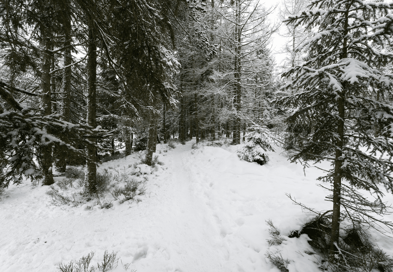
Overall, I ended up hiking a little over 11 miles round trip in about 4 hours, once again getting back to my car a little after sunset. One of the downsides of hiking during the winter is how early the sun sets. Because it gets dark before 5 pm this time of year, it really limits how far I can walk on a trail, especially since I prefer starting my hikes after noon. I think it will be fun to revisit some of these lengthier sections of trail during the summer months when I will have more hours of daylight to stay out on the trail.