Skip to content

Exploring the Mickelson Trail – The Mountain Trailhead

The ninth official trailhead along the 109-mile George S. Mickelson Trail that runs nearly the entire length of the Black Hills is called The Mountain Trailhead. Located 49.6 miles from the end of the trail, this trailhead can be found about halfway between Crazy Horse Memorial and the town of Custer. Just look for the sign to turn off Highway 385 and onto Village Avenue for the Mickelson Trail. It is then only a short drive on a gravel road to reach the trailhead parking lot. The entrance to the parking area is on the right.

The Mountain Trailhead is similar to the other Mickelson Trailheads in that it has a nice wooden shelter with a bench and picnic table, public toilet, self-service fee station, and bicycle station. Unlike most of the other trailheads, though, this one does not appear to be associated with any towns or important stops that were along the old rail line. It kind of feels like they just needed a trailhead between Hill City and Custer and this location was chosen at random. Although, after hiking this section of the trail, I do think it is the perfect location for starting a fun hike. 

Mickelson Trail - The Mountain Trailhead hiking trail start
Mickelson Trail - The Mountain Trailhead large flat hiking path surrounded by trees

From here, you can go north and the trail will take you past Crazy Horse Memorial and towards Hill City. I have been hiking south from each of the trailheads, though, so I turned right and headed towards Custer. It is 5.1 miles from the Mountain Trailhead to the Harbach Park Trailhead near downtown Custer and I planned to hike the whole way for this trip.

As I started out, I appreciated that the trail immediately began to lead away from Highway 385. In fact, this is one of the few sections of the Mickelson Trail I have hiked that didn’t run alongside a highway or dirt road for a significant portion of the hike. For the first mile or so, the trail felt rather secluded with trees lining both sides and obscuring the surrounding views. Soon I began to see tall granite peaks rising up in the distance through the trees. Finally, the trail opened up to an amazing view of a giant rock wall towering in the distance. This is when I knew today was going to be a great hike. 

Mickelson Trail - The Mountain Trailhead large flat hiking path surrounded by trees

It was at this point that I saw what looked like a little memorial to the railroad on the side of the trail. There were two pieces of steel rails sitting on four wooden ties along with a few posts that were probably used by the railroads. I wish there had been some information here about what they were or what the history of this spot was.

Over the next few miles, the trail offered some spectacular views of the granite mountains that are on the edge of Custer State Park. Every section of the Mickelson Trail has offered a different perspective the Black Hills and this part was certainly no different. I can imagine that this would be a popular area for landscape photographers who would want to photograph the massive rock formations. Under the right conditions, especially with the sun going down in the west in the late afternoon, I’m sure some amazing images could be captured here.

Mickelson Trail - The Mountain Trailhead large curved hiking path
Mickelson Trail - The Mountain Trailhead view of large rock formations and pine trees

One of the most interesting moments I had on this hike was coming across an information sign marking where one of the first photographs of the Black Hills was taken. When George Custer led the first expedition into the Black Hills in 1874, he had brought a photographer named William Illingworth with him. The sign shows one of Illingworth’s photos that was taken near here and you can see just how little the area has changed since then. Standing here, it is crazy to think about the men who saw these very same mountains for the first time 150 years ago.


Mickelson Trail - The Mountain Trailhead view of large rock formations and pine trees

As the trail got closer to Custer, I began to see more homes and neighborhoods appear. Reaching the outskirts of town, the trail turned into a paved bike path as it went past the local football field. For the final mile or so of the trail, this bike path winds through Custer, crossing a couple of major streets, before finally reaching the trailhead at Harbach Park across from the Custer Chamber of Commerce. Because I wanted to hike the entire 5.1 miles, I didn’t mind this walk through town. Part of me even wished it wasn’t so late in the day so I could spend some time visiting a few of the stores in downtown Custer. However, if you only wanted to enjoy the scenic views along the trail or if you are short on time, you can simply turn around at the edge of town where the pavement first starts.

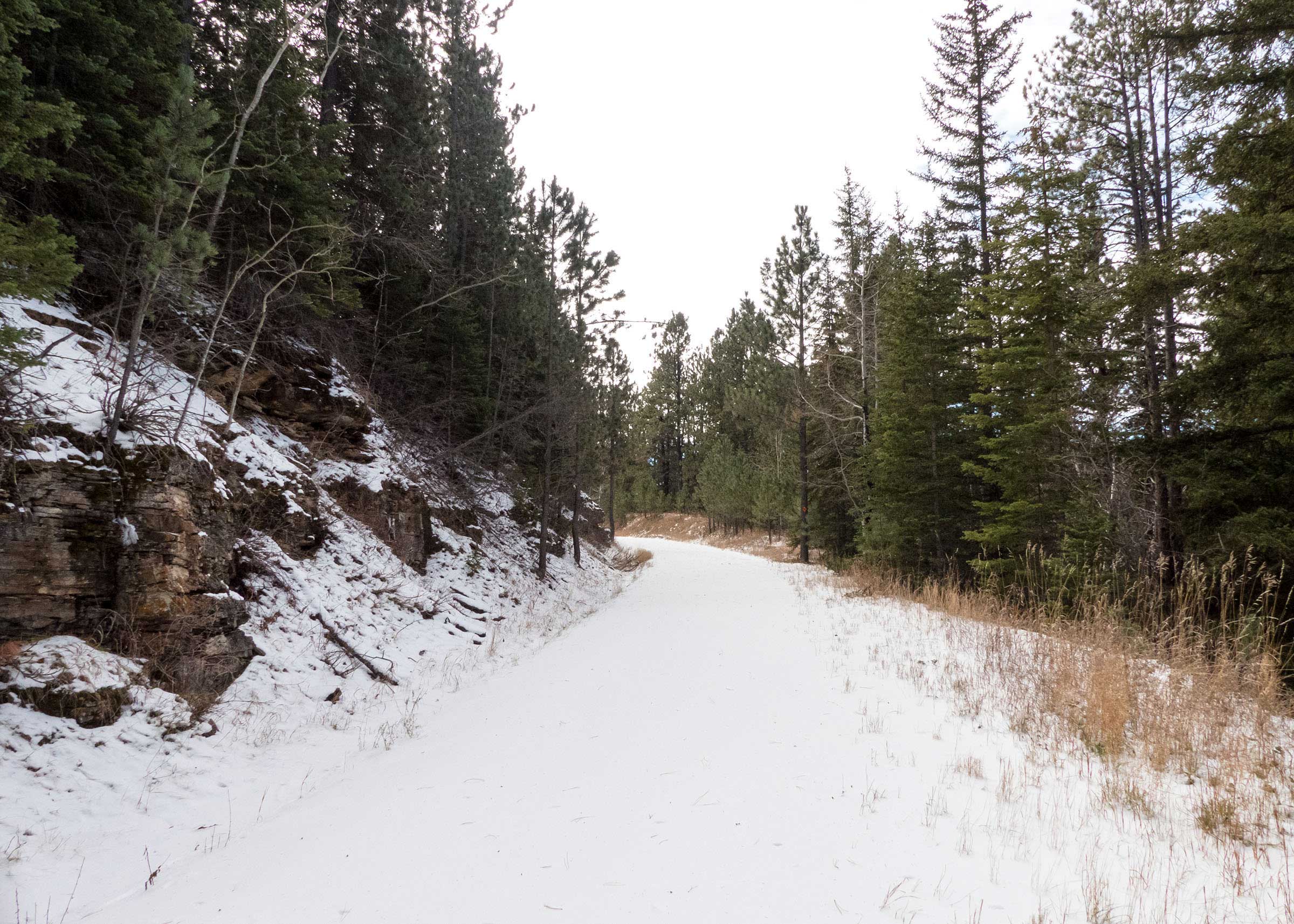
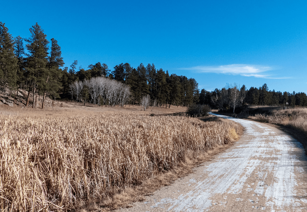
Looking back, I think that this section of the George S. Mickelson Trail offered some of the most spectacular views of the Black Hills that I have seen yet. There may not have been any waterfalls or tunnels on this segment of the trail, but the beauty of those granite peaks is hard to beat. By the time I got back to the Mountain Trailhead, I had gone about 10.5 miles round trip in a little over three and a half hours. With the sun setting so early these days, I just barely returned to my car before dark. 

 
Mickelson Trail - The Mountain Trailhead pathway with bridge leading into dense forested area
Secret Link