Walking the Centennial Trail – Bear Butte Lake
Centennial Trail #89 is an amazing 111-mile route that runs nearly the full length of the Black Hills and travels through some of its most scenic areas, including the Black Elk Wilderness and Custer State Park. Its two end points are at Bear Butte State Park in the north, just outside Sturgis, and Wind Cave National Park in the south, east of Pringle. Established in 1989 to mark the 100th anniversary of South Dakota statehood, it is one of the most iconic trails in the state along with its cousin, the 109-mile Mickelson Trail.
While it is possible to through-hike the entire trail, stopping at campsites along the way, you can also section-hike this trail using the two dozen trailheads that line the trail as starting points. I recently completed hiking the Mickelson from each of its trailheads, which was a fantastic experience. (You can find all those blogs linked here.) So, I have now decided to take on the challenge of hiking the length of Centennial Trail, starting from the north and going south, one section at a time.
The official end point of Centennial Trail is at the top of Bear Butte. However, since I have hiked that trail many times before, and have already written about it here in a previous blog, I decided to begin this journey on the other side of Highway 79 at Bear Butte Lake. This trailhead offers plenty of parking, several campsites (fee required), a corral for horses, and a public restroom. There is no fee for hiking on the Centennial Trail, so once you are ready just step through the gate and off you go.
Starting out, the trail runs through an open field and alongside a dirt road. As it circles around the far side of Bear Butte Lake, the trail turns to the left and soon enters the Fort Meade Recreational Area. From here, the path continues on across a wide grassland of rolling hills. I am glad that this area is part of Centennial Trail to give hikers the full range of the diverse landscapes you can find in the Black Hills area.
The trail itself was pretty clear and easy to follow. Markers with the familiar “89” are posted at regular intervals the entire way to help keep you on track since there are a few other trails here that cross the path. There was only one spot where I ended up briefly losing the trail because there was a turn that wasn’t marked.
As you are walking along the top of a high ridge, you will begin to see Fort Meade below to the left. At one point, it looks like the main trail keeps going straight, however the trail actually splits to the left and goes down towards Fort Meade. Unfortunately, there is no sign here, just a few rocks piled together, so it was easy to miss. If you keep moving forward on the wrong trail, you will stop seeing the Trail #89 markers. And if you see a large water storage tank up ahead, you have gone too far, which is what happened to me. Once I realized my mistake, I ust went back and looked for the turn.
As the path comes down from the bluff, I was surprised to discover a shooting range for the Muzzle Loaders of the Black Hills. I can only imagine how fun it would be to watch a shooting competition here. Just past this, Centennial Trail merges with a paved bike path, crosses a bridge, and continues towards Fort Meade. If you want to go all the way to the next trailhead, there is a small tunnel that runs underneath Highway 34 where you can safely cross. However, this was where I decided to turn around and make my way back to Bear Butte Lake.
There are a few things to keep in mind when hiking this part of trail. Nearly its entire length crosses open grassland, so there are no trees or shelter of any kind until you get close to Fort Meade. If it is a windy day, as it was during my hike, you will be in the wind most of the time. And you will be exposed to the sun throughout this hike. Please plan accordingly by hiking earlier in the day if the weather is going to be hot, dressing properly, and bringing plenty of water.
Also, much of the land surrounding the trail here is used for grazing cattle. During summer months especially, you will likely encounter cows near or on the trail. Because of this there are several gates that you will need to pass through. Be sure to close all gates that you open.
The official maps show that this section of Centennial Trail is 4.5 miles long. However, my phone showed it to be about 5.3 miles. Overall I ended up hiking about 11 miles round trip, which included my brief detour in the wrong direction. It took me a little more than 4 hours to walk out and back.
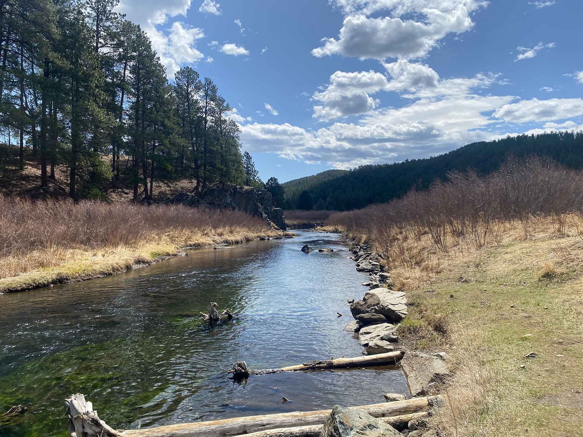
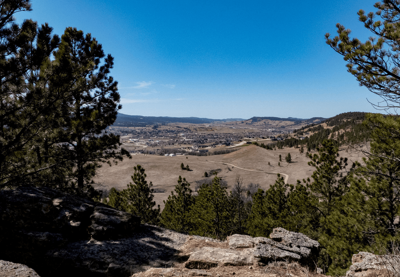
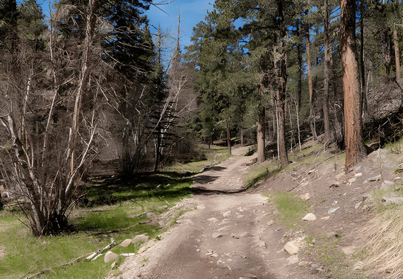
I have a feeling this will end up being one of the easiest portions of hiking Centennial Trail. There was only 278 feet of elevation gain and the path was pretty even with just a few brief climbs. As Trail #89 continues into the Black Hills, I have no doubt that it will become more challenging the further it goes. And I can’t wait!