Top 7 Trails in Custer State Park
Custer State Park is located within the central portion of the Black Hills, in western South Dakota. It is expansive and offers a wide variety of attractions. There is a pass required to access the park. Passes range in length from one day to annual, depending on how long you intend to stay or how often you plan to visit. They can be purchased at any of the park’s entrance stations or from many of the visitor’s centers around the Black Hills. Read on for 7 popular trails to hike in Custer State Park!
Black Elk Peak
There are two separate sections of this trail. The most well-known and heavily-trafficked is the southern portion which starts near Sylvan Lake. This section is wide, well-graded and is around seven miles round-trip. It is of moderate difficulty, mostly due to its length and altitude. As it summits the highest peak in the Black Hills, it allows hikers an expansive, 360-degree view of the nearby landscape.
The northern section of the trail is far less busy. It is shorter than the southern branch, but this is due to it being steeper, which makes it more difficult. It can be accessed via several trailheads including Willow Creek and Lost Cabin.
Lover's Leap
This path is found behind the old schoolhouse, across the road from the Peter Norbeck Education Center, on the south branch of Highway 16A. It is situated between the Coolidge General Store and the Custer State Park Resort. This trail is around four miles in total length and also forms a loop which you can traverse in either direction. It takes hikers to an overlook over a cliff face (the Lover’s Leap) that provides scenic views of the surrounding Black Hills.
Sunday Gulch
This trailhead is also found near Sylvan Lake. This is a loop of around four miles that can be completed in either direction. Both arms of the loop start near the back side of this popular lake. This path, along with the Black Elk Peak Trail, is one of the more challenging hikes you will find in the park. A portion of it traverses a canyon that was cut by a creek. When the creek levels are high you may find yourself getting wet.
This is because a portion of the trail basically climbs a small waterfall that is formed by the creek raining down the nearby boulders. If you traverse the trail counterclockwise, you will start with a descent of the difficult, boulder section. If you choose the clockwise route, you will finish with this difficult section and will have to climb it. This trail is closed during the winter months due to ice and slippery conditions.
Grace Coolidge
You can start at either end of this trail. The total distance is 3 miles and you can park a vehicle at each end to avoid needing to backtrack. The southern end starting at the parking area along hwy 16A across from Grace Coolidge Campground. The northern end starting at Center Lake. You will cross the creek several times, but there are wood planks set up to make the crossings easier. Most of the trail is shaded and the creek offers opportunities to cool off, so its a good choice on a hot day.
Cathedral Spires
This trail can be accessed from both the parking lot at Sylvan Lake, as well as farther south from the Cathedral Spires lookout point on the Needles Highway. This hike is shorter, coming in at around two miles in total length. Its claim to fame is that it takes you to the base of the Cathedral Spires, unique rock formations that are well-known in the Black Hills.
Little Devils Tower
This trail option is around four total miles, out-and-back. Its trailhead can also be access off of Route 87, near Sylvan Lake. The majority of it is of moderate difficulty, with a well-graded trail. It does become more difficult near the end where you are required to scramble up a rock pile to reach the lookout. One unique aspect of this trail is that the famed “Poet’s Table”, a Black Hills “hidden landmark”, can be found off this route…if you know where to look…
French Creek
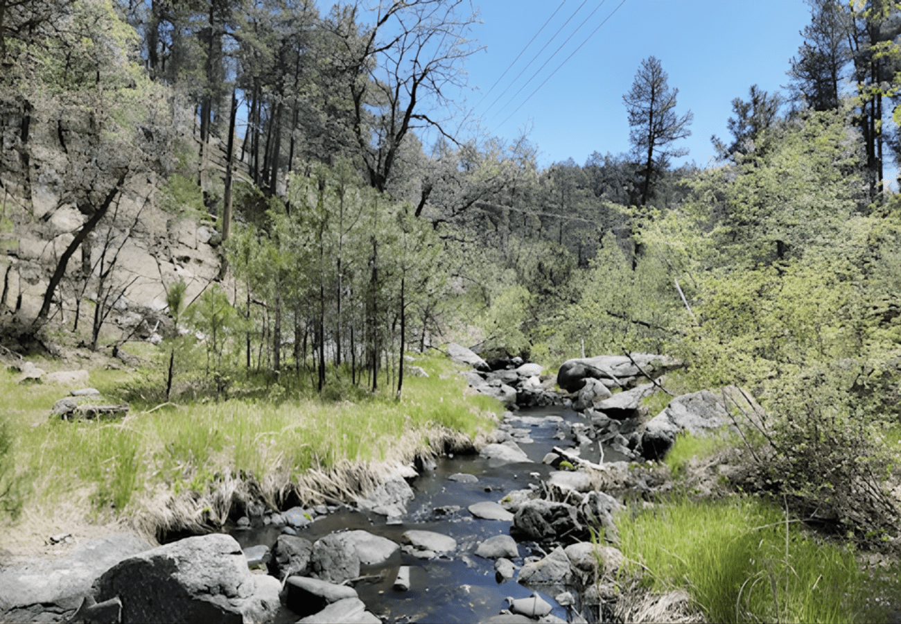
This lengthy trail is over 12 miles long and, you guessed it, it runs along French Creek. It can be accessed from multiple trailheads and routes throughout the park. This is a popular spot for fishing, if the water level is high enough. The creek does frequently run dry during drier times of the year. This is also a good area to spot buffalo, though be sure to keep your distance as they are wild animals.
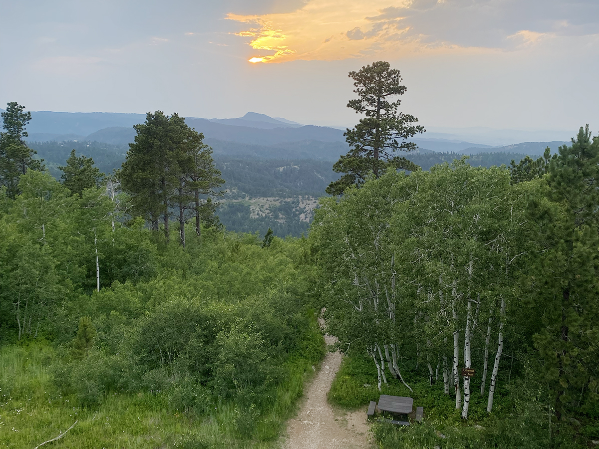
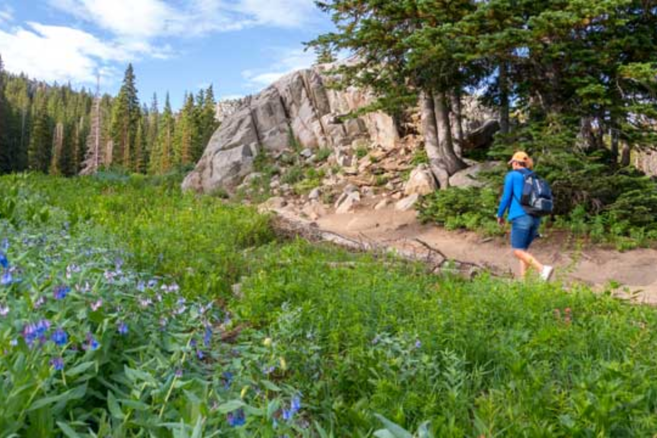
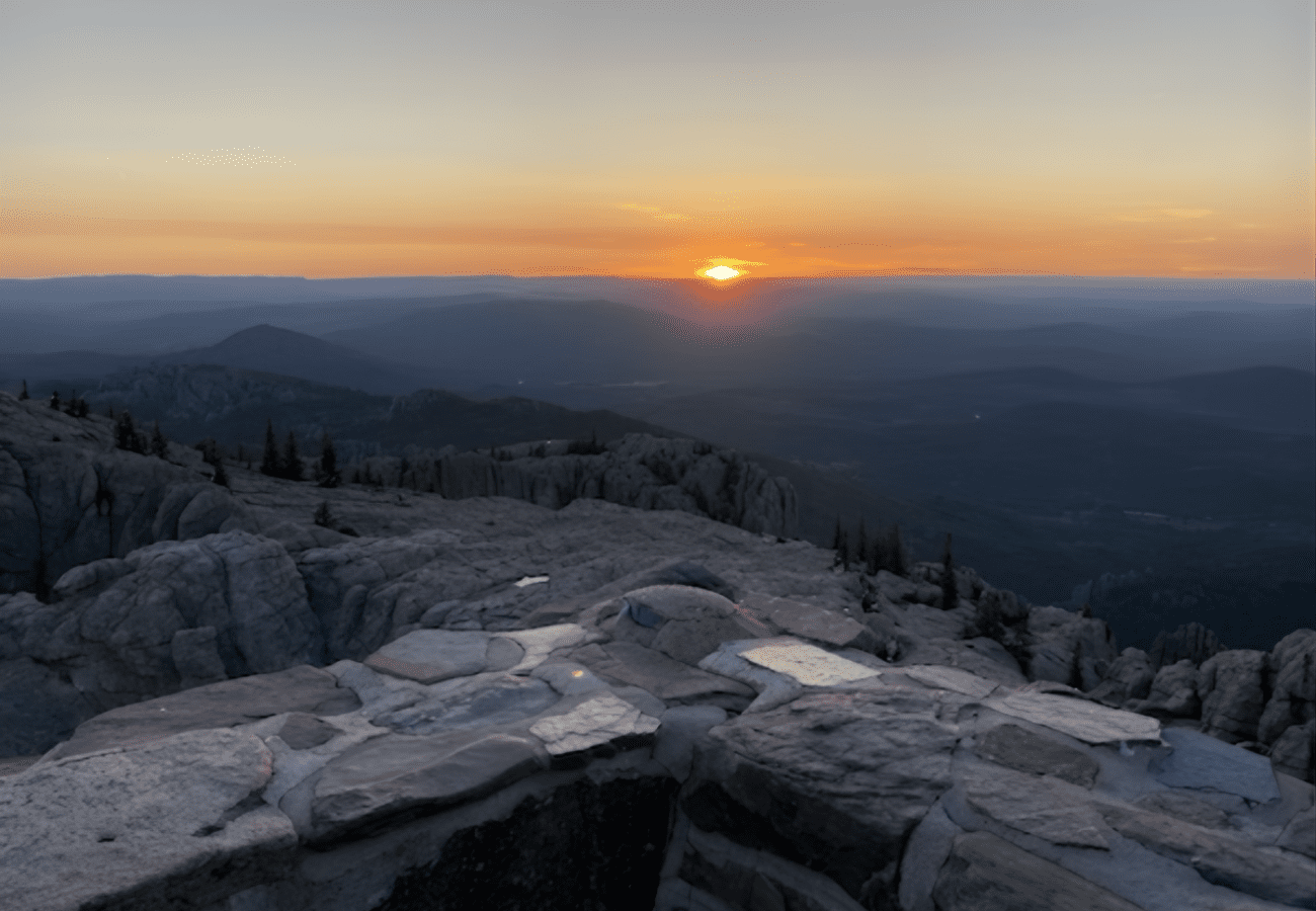
There are so many great hiking options at Custer State Park! These cover a wide variety of ecosystems ranging from pine-forested mountainsides and canyons to grasslands. They also range over a wide expanse of difficulty levels. You can find even more Custer State Park trails here.