Skip to content

Ascending the Lookout Mountain Trails

Lookout Mountain Park on the edge of Spearfish contains a series of fantastic interconnected and overlapping trails that cover more than 14 miles over rugged and often steep terrain. Most of the trails are open to both hiking and biking, although some trails are for hikers only. While each trail has its own difficulty rating, I would say that, overall, these trails are moderately difficult due to their steepness and the rocky footing. At least two trails lead to the summit of Lookout Mountain, and both are what I consider very difficult. Each one requires scrambling over large rocks and climbing up the side of the mountain to reach the peak. Even if you don’t go up to the Lookout Mountain Peak, however, this is still a fun and beautiful park to explore.

Because of the way that the trails are laid out, there are multiple routes you can take with varying distances. It just depends on what you want to see and how far you want to walk. On this trip, I had a few goals in mind before setting out on my hike. I wanted to make it to the top of Lookout Mountain. I wanted to explore as much of the park as possible. And I wanted to keep the hike to around 6-7 miles. After looking at the map of the trail systems, I had a general idea of which paths I wanted to take. I also made sure to take a picture of the trail map with my phone, which can be found at the trailhead, to help me stay on track. This turned out to be very helpful as I referred to this photo several times during my hike.

Lookout Mountain Large Loop

From the parking lot at the end of Nevada Street in Spearfish, I first had to walk through the tunnel that runs under Interstate. This tunnel of art contains a series of interesting murals painted by the students at Black Hills State University. The BHSU Art Club manages the unique project and updates the artwork on an ongoing basis. 

On the other side of the tunnel, I had to pass through one gate to reach the start of the trails. For my hike, I began by taking Tech Essence Trail to the right. This trail is relatively flat and follows along the Interstate at the edge of the park. While I found this to be the easiest section of trail to walk, it was my least favorite just because of the noise of the traffic. However, once the trail started heading up the mountain, the traffic sounds drifted away and I started to feel more surrounded by nature. 

Lookout Mountain Large Loop

Tech Essence Trail eventually connected with Mesa Trail, which soon led me to the first trail up to Lookout Peak. This trail is overgrown and a little hard to see at first, but there is a marker at the start.

It is a steady uphill walk until you reach the base of the mountain, then it becomes an almost vertical climb up what looks like a dry waterfall.

Once you reach the top, though, the views are spectacular and make all the effort so worthwhile. It is such a cool experience to stand at the top and look out across the town of Spearfish below with Crow Peak off in the distance. 

Lookout Mountain Large Loop

After leaving the summit, I went back down and continued on Mesa Trail as it took me around to the back side of the mountain and to the other path to the peak. This trail is called Homestretch and is much clearer to follow. It is also labeled on the trail map. Much like the other trail to the top, it is not too difficult until you reach the base of the mountain. Here, the path to the top requires climbing over large boulders to reach the peak. As I said, there is no easy way to the top.

Returning to Mesa Trail once again, I followed that trail until it connected with Ridge Trail. I have to say, this park does a wonderful job of marking every intersection where each of the major trails connect. You will find that there are lots of smaller trails not on the map that crisscross throughout the park, yet as long as you stay on the major trails and look for the trail markers, you won’t have any difficulty staying on the right path.

Lookout Mountain Large Loop

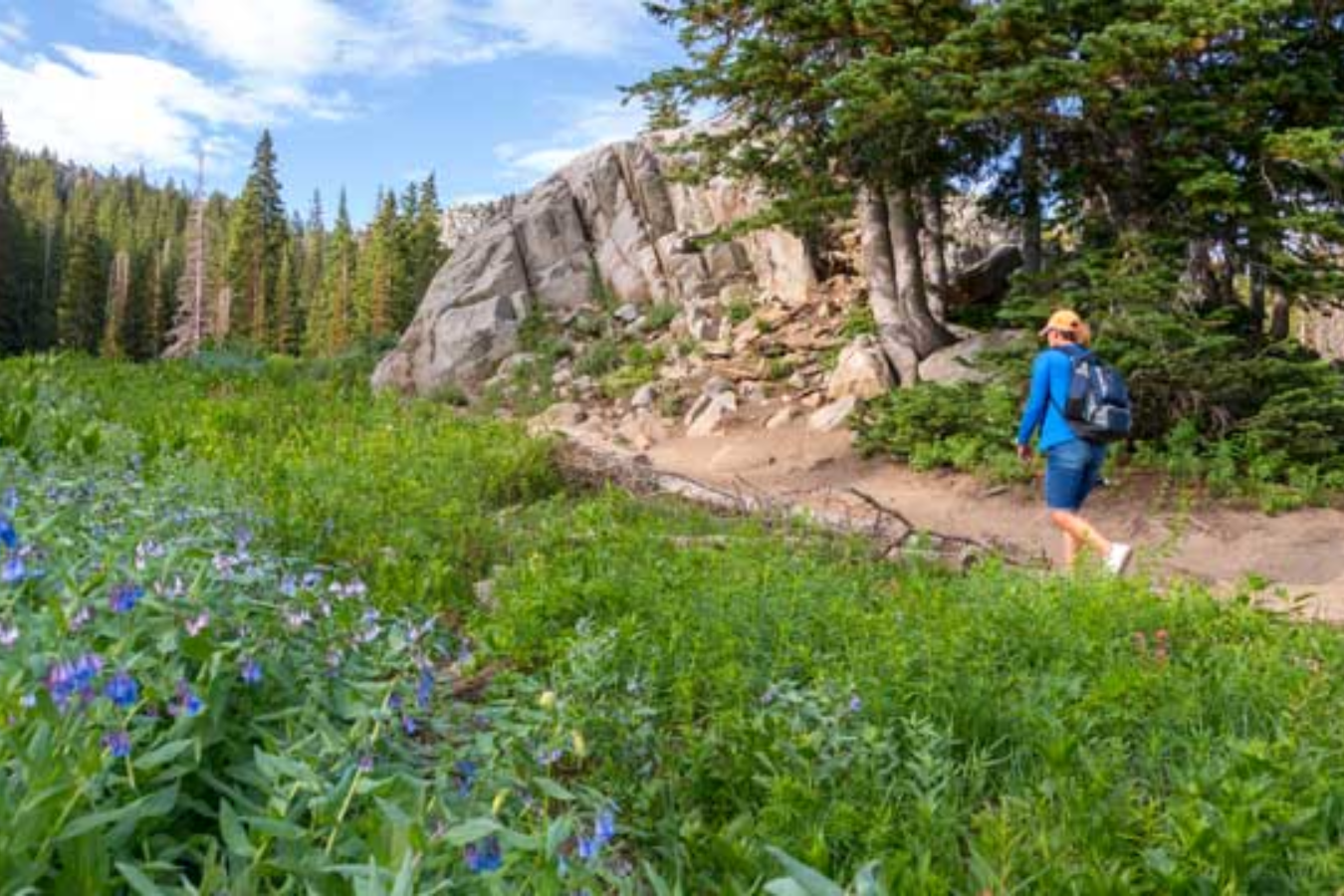
As the name suggests, Ridge Trail took me along a high ridge with more great views of Spearfish below. Shortly after the start of this trail, there is a shortcut that leads down the mountain and back to the trailhead that is available only to foot traffic. However, I wanted to see more of the park so I followed the entire length of Ridge Trail. I’m glad I did because there are some beautiful views to see on this end of the park. The final stretch of Ridge Trail as it leads back to the trailhead is relatively flat and runs along the Interstate, just like how this hike began.

Hiking the Lookout Mountain Trails was an awesome experience. My route ended up being around 6.5 miles and took me a little under three hours to complete. It was a fun way to spend an afternoon in the Black Hills and I definitely plan on making another visit to the park to explore the other trails that I missed on this trip.

Lookout Mountain Large Loop
Secret Link